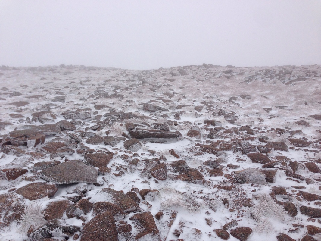
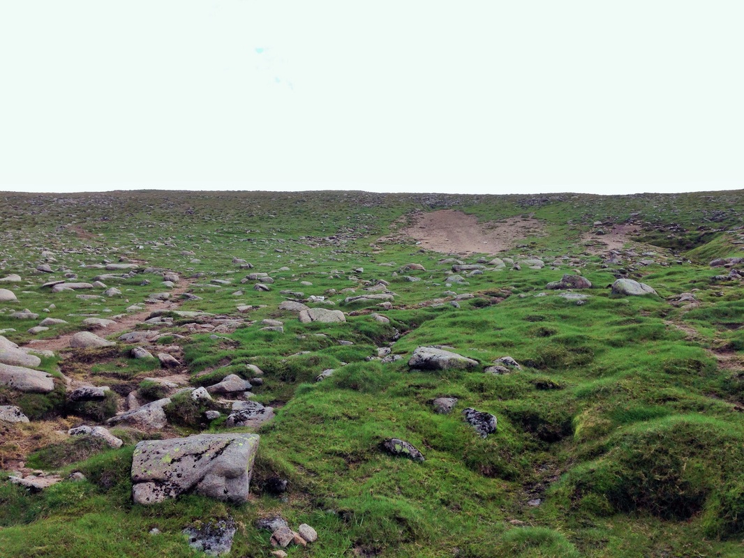
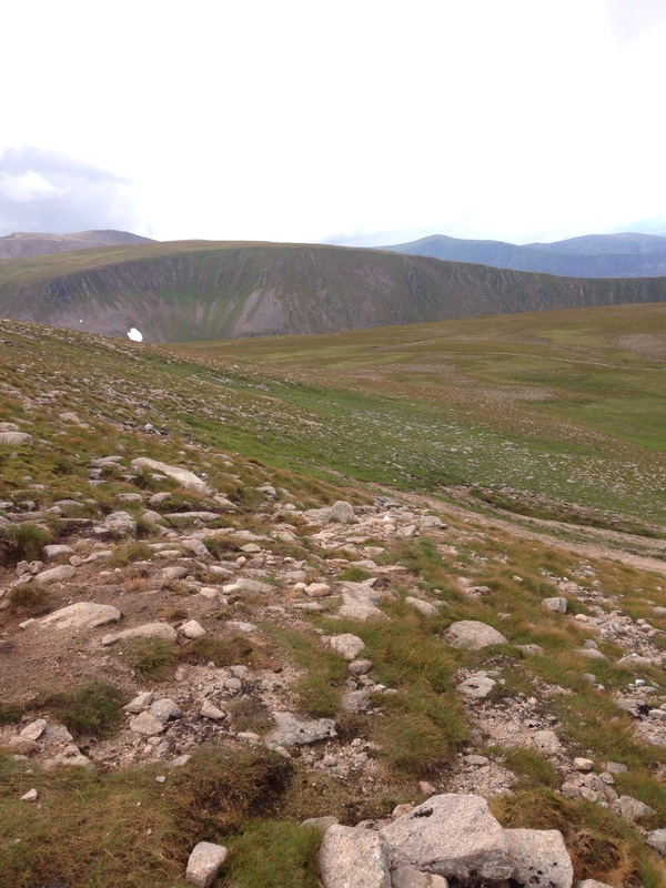
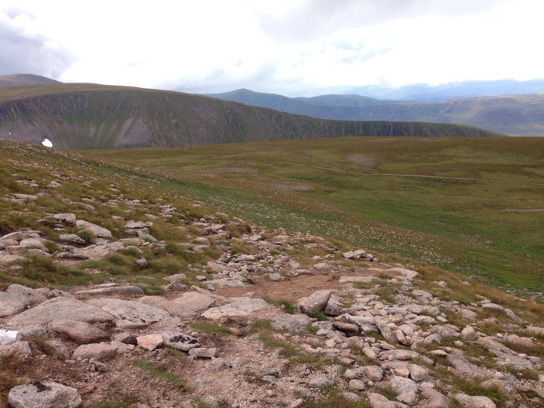
Northern Corries Rim, Cairngorms.
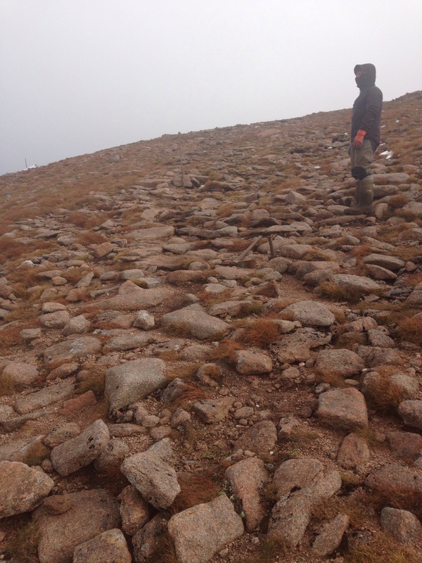
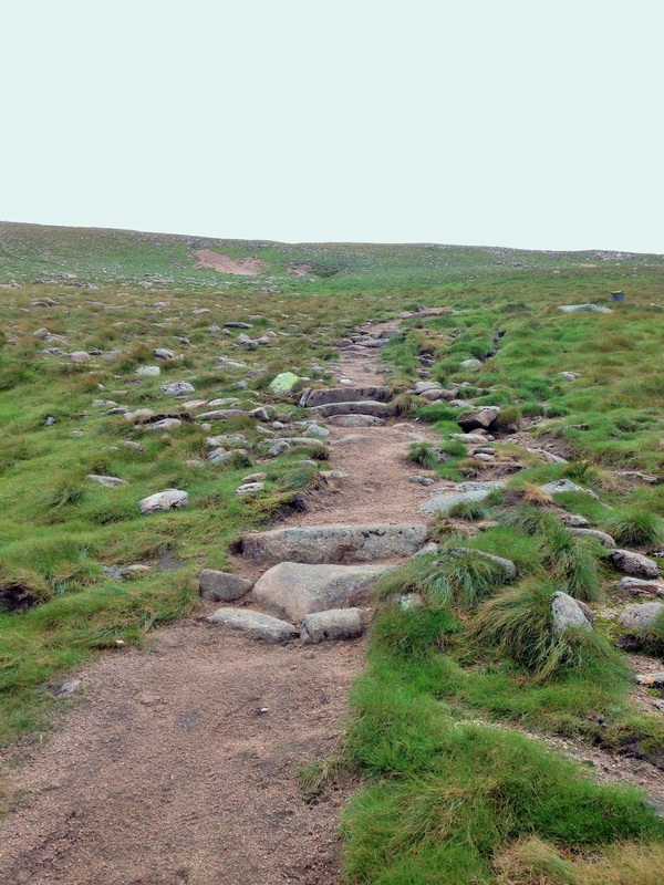
2014 saw us returning to the Northern Corries to complete another section of light touch path works. This seasons work involved working from Cairn Lochan (1215m) down to the area known as Lurchers Meadows.
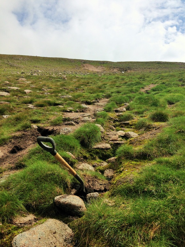
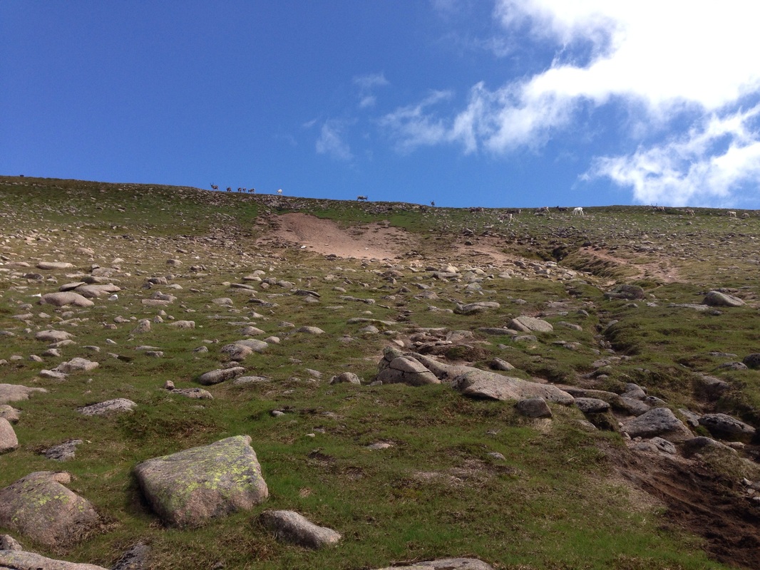
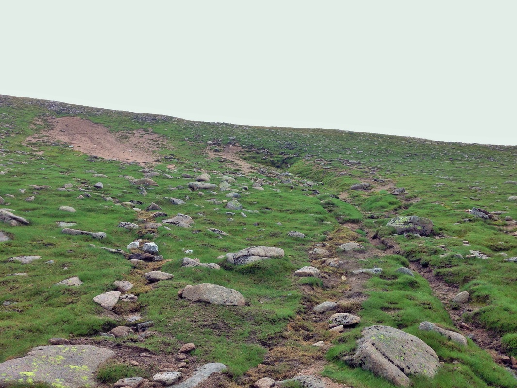
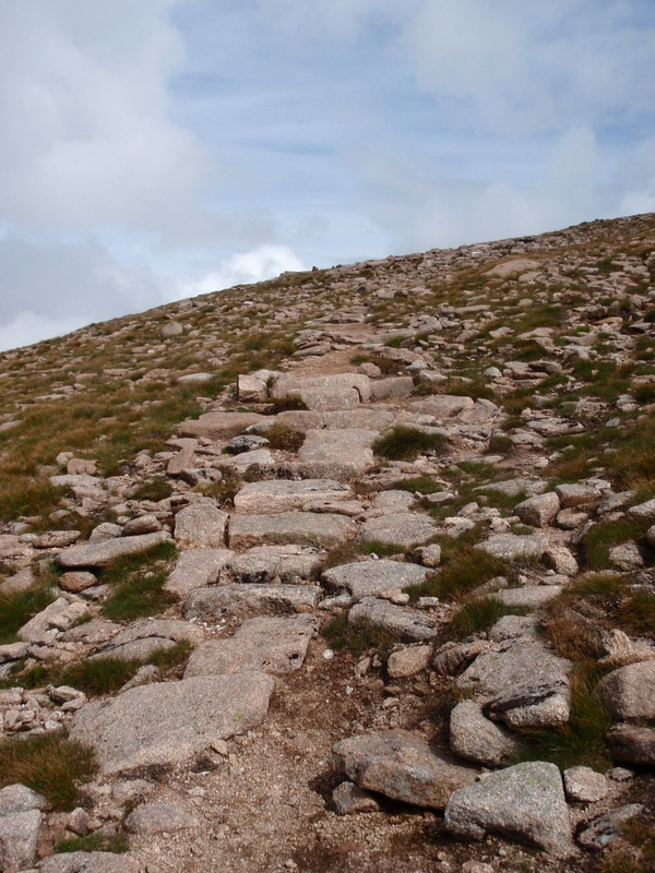
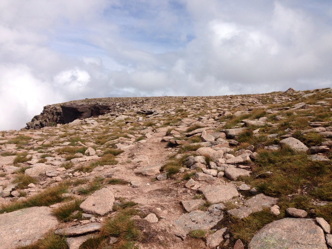
The priority here was to create a desire line that people could follow and avoid an obvious scar through a geologically important area that had become the most obvious line to use.
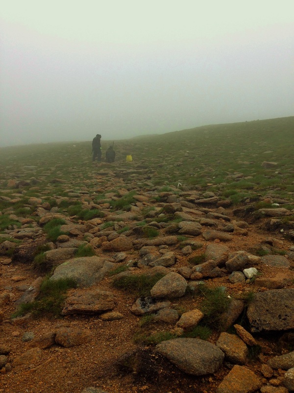
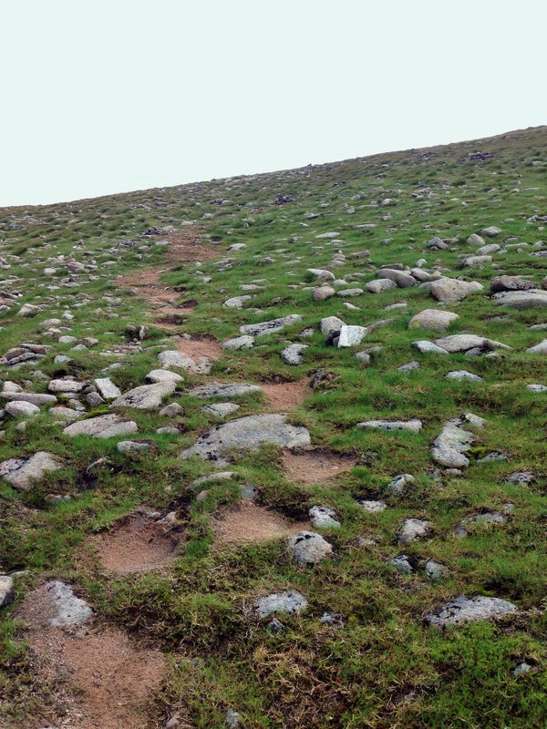
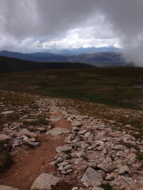
The lower sections had really suffered in the last few years from the snow melt waters cutting down through the light top soils and leaving large gullies which each spring were getting deeper and wider.
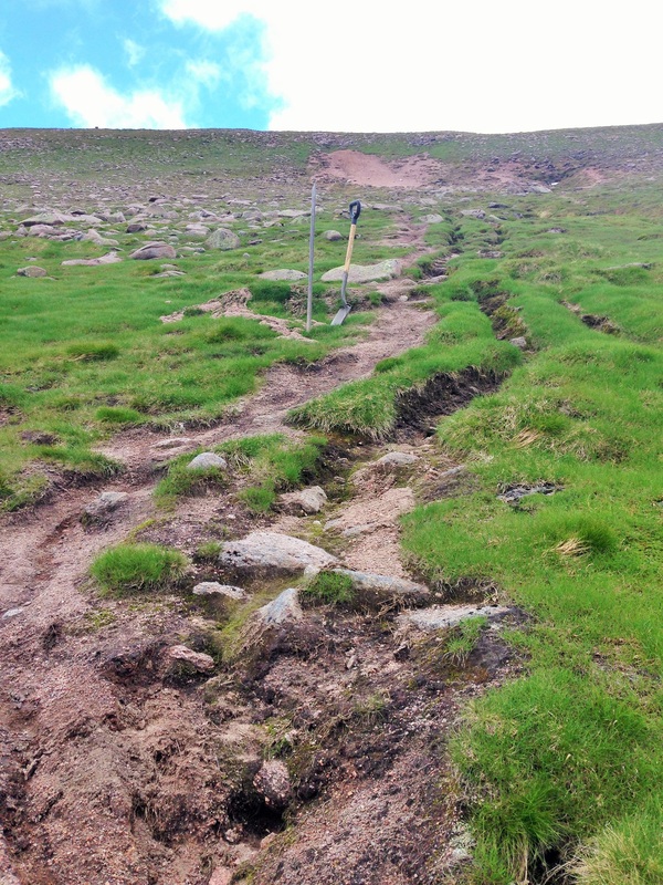
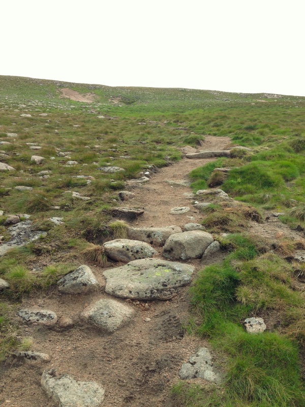
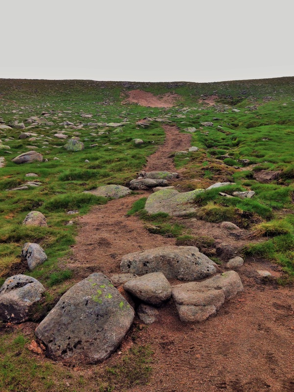
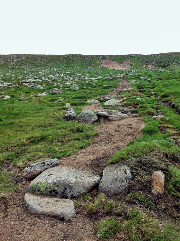
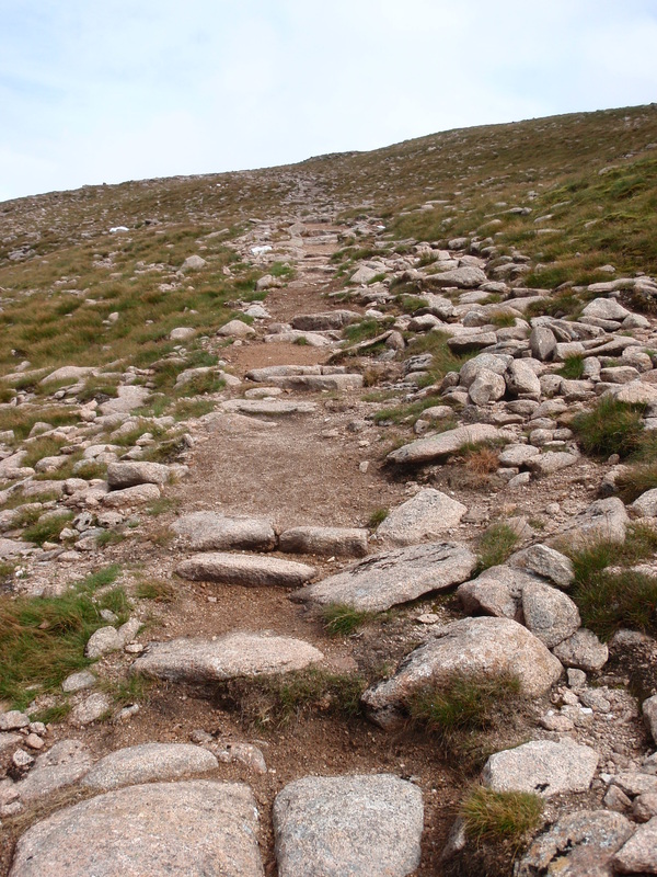
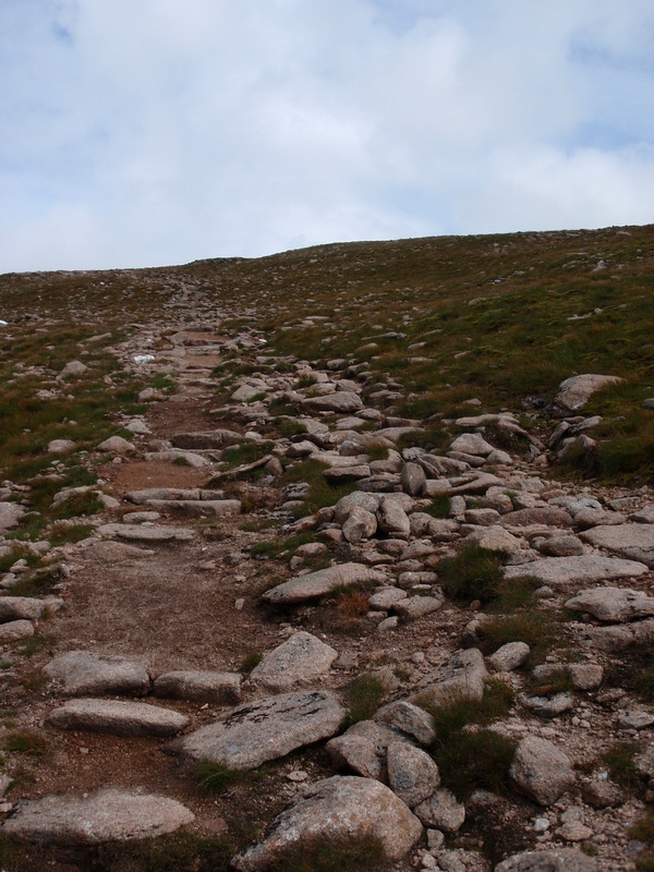
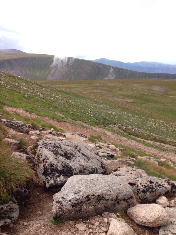
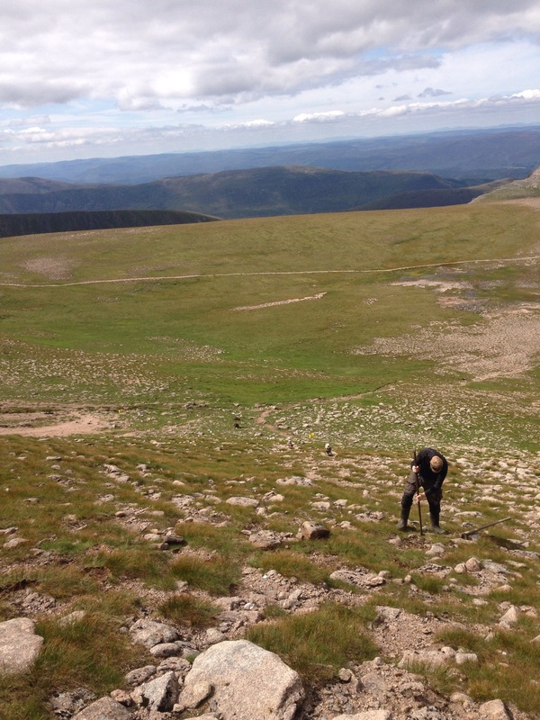
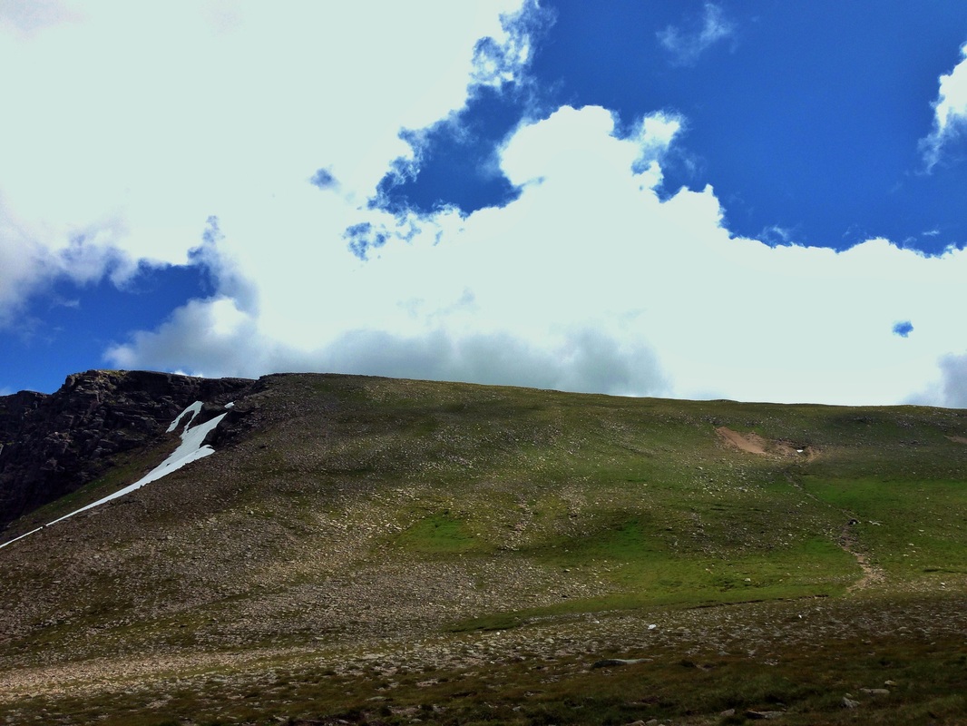
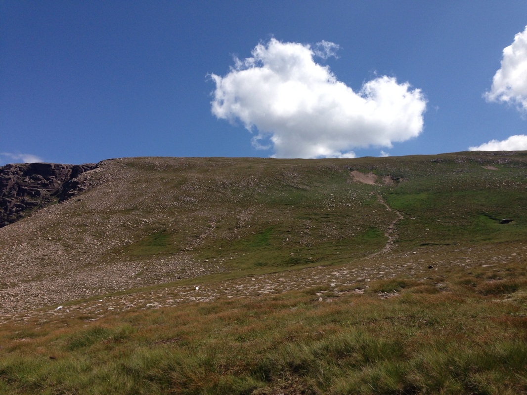
By cutting a stronger line lower down, using aggregate material out of the gullies and pinning that surfacing into the path tray with step risers and anchor bars, we were able to start to guide people away from the heavily damaged area. At the damaged site we used extensive landscaping techniques to hide the old route, whilst simultaneously creating a visual desire line further to the left. This was done by creating small areas which would catch the eye and act as clues as to the correct way up.
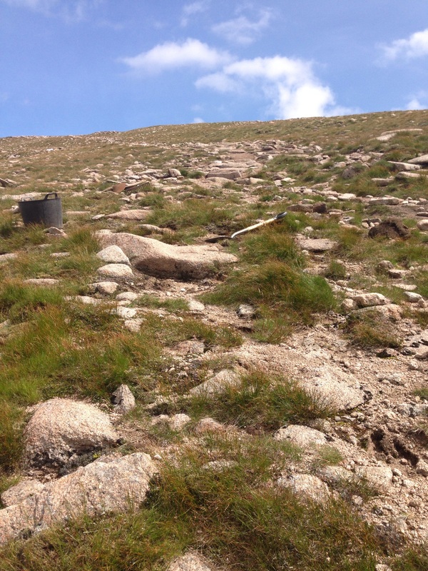
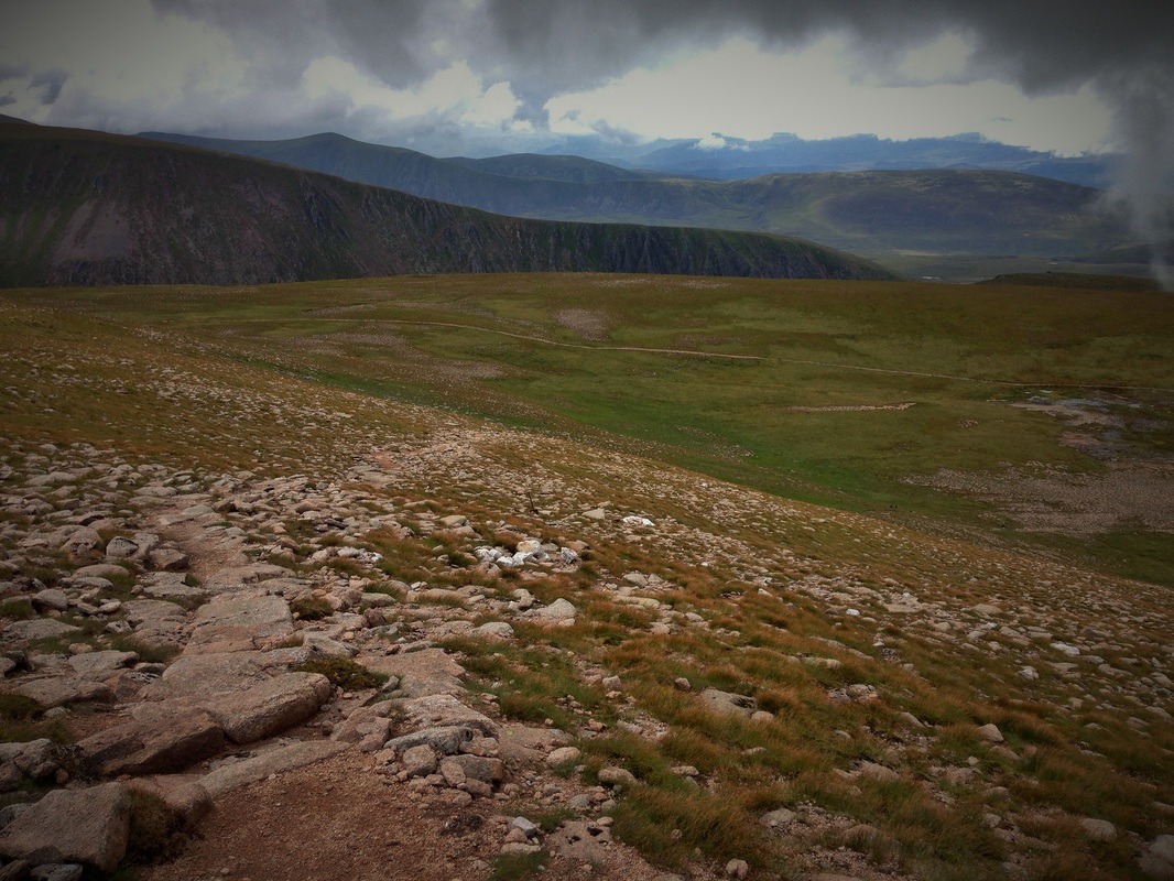
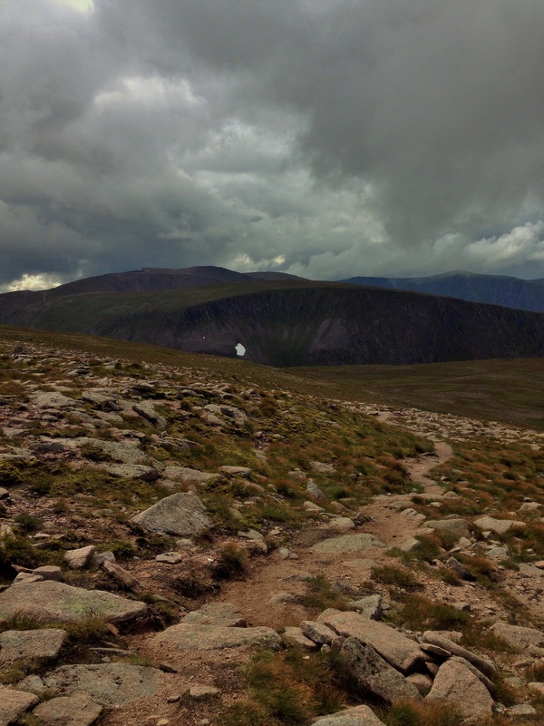
For the path leading down, the aim was to reroute the path before the damaged area came into view, and that way walkers could be encouraged onto the new line.
This was a challenging job as there were lots of different possible lines we could of taken, and our aim was not to have a fully built path which would have had a visual impact from the other side of Lurchers Meadows.
The priority here was to create a desire line that people could follow and avoid an obvious scar through a geologically important area that had become the most obvious line to use.
The lower sections had really suffered in the last few years from the snow melt waters cutting down through the light top soils and leaving large gullies which each spring were getting deeper and wider.
By cutting a stronger line lower down, using aggregate material out of the gullies and pinning that surfacing into the path tray with step risers and anchor bars, we were able to start to guide people away from the heavily damaged area. At the damaged site we used extensive landscaping techniques to hide the old route, whilst simultaneously creating a visual desire line further to the left. This was done by creating small areas which would catch the eye and act as clues as to the correct way up.
For the path leading down, the aim was to reroute the path before the damaged area came into view, and that way walkers could be encouraged onto the new line.
This was a challenging job as there were lots of different possible lines we could of taken, and our aim was not to have a fully built path which would have had a visual impact from the other side of Lurchers Meadows.